Προσωρινή βλάβη σταθερής γραμμής -
Επικοινωνήστε στο
693 0934567
.
Οι άδειες του TopoLT είναι ετήσιες ή τριετής.
Προμηθεύουμε Ελλάδα και Κύπρο
Topography • Cadastre • 2D / 3D Modeling • Automation
TopoLT – Complete List of Functions
Discover the full range of TopoLT capabilities for topographical and cadastral projects, from coordinate drawing and terrain modeling to raster processing, detachment calculations, Google Earth integration and advanced automation tools.
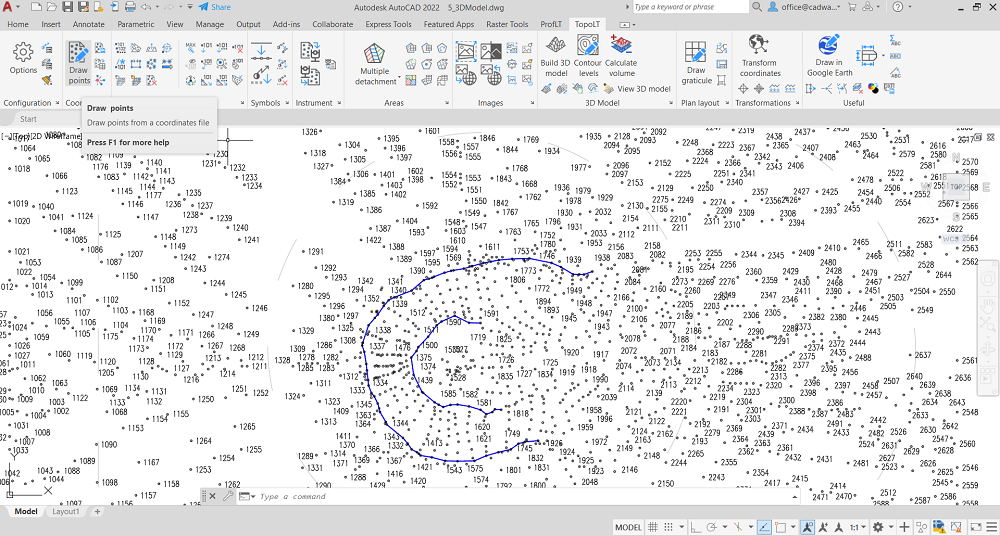
Direct Coordinate Drawing
Draw points directly from coordinate files, import coordinates from total stations,
or send coordinates from the drawing back to the total station.
Point Label Optimization
Optimize point labels automatically to prevent overlapping with nearby entities.
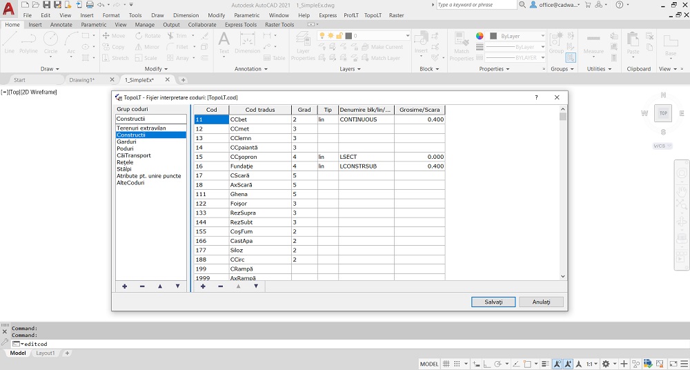
Customizable Point Codes
Translate point codes according to a user-defined interpretation file.
Graphical Point Drawing
Draw points graphically with or without elevations, including interpolation where needed.
Entity Point Introduction
Automatically introduce points for entities such as lines, polylines and arcs that lack marginal points.
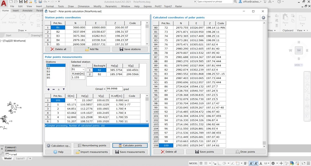
Sightshot Points Calculation
Calculate polar point coordinates and import measurements from most total stations.
Measurement Import
Receive measurements directly from instruments through serial ports.
Point Selection & Code Modification
Select points by code and modify point codes whenever needed.
Coordinate Extraction & Table Creation
Extract point coordinates from drawings, save them in various formats,
and create coordinate tables for selected points and station points.
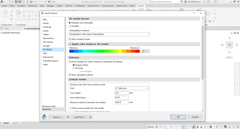
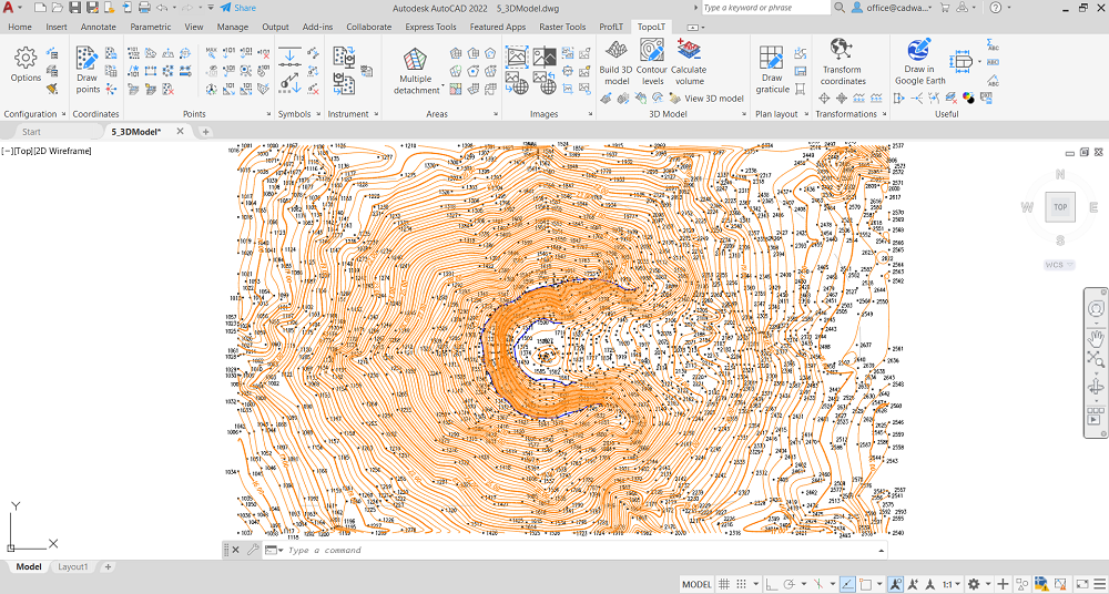
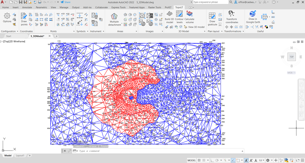
3D Terrain Modeling
Generate 3D terrain models and contour lines, and calculate volumes
between planes, surfaces or triangulated models without restrictions.
3D Model Manipulation
Cut, join and visualize entities in real-time 3D, save AVI movies and images,
load 3DS files, attach textures and achieve photo-realistic rendering.
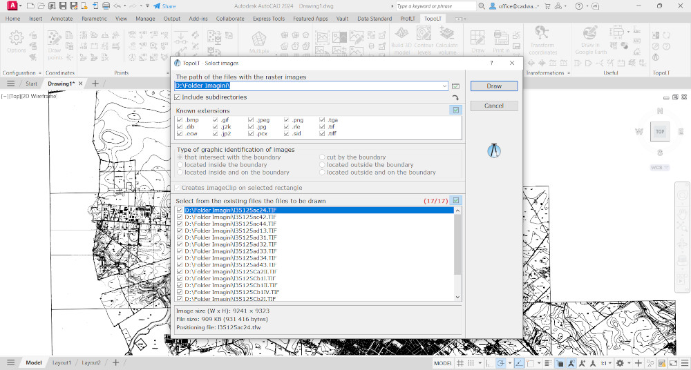
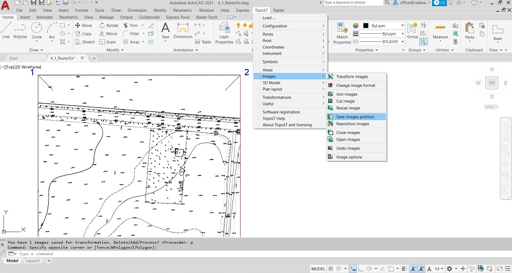
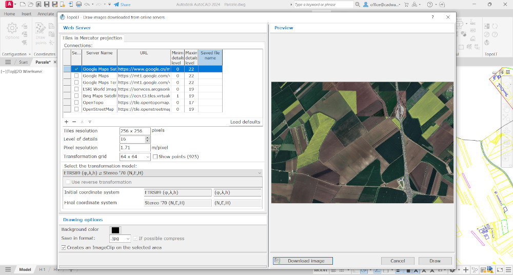
Raster Image Transformation
Transform raster images to match the drawing coordinate system,
including framing, cutting and color adjustments.
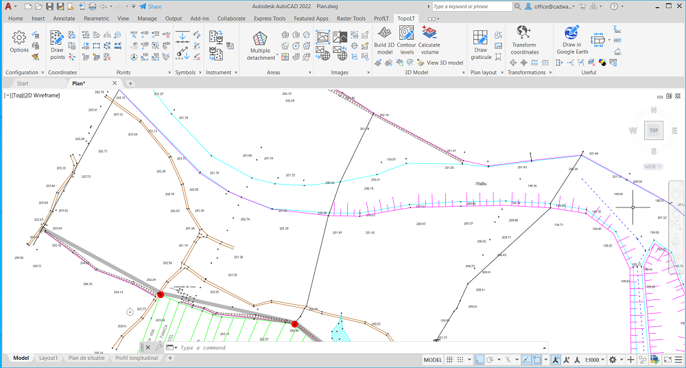
Point Symbols Management
Insert, scale, rotate or delete point symbols (blocks) automatically based on point codes.
Automatic Linetypes Change
Change linetypes automatically according to the codes interpretation file.
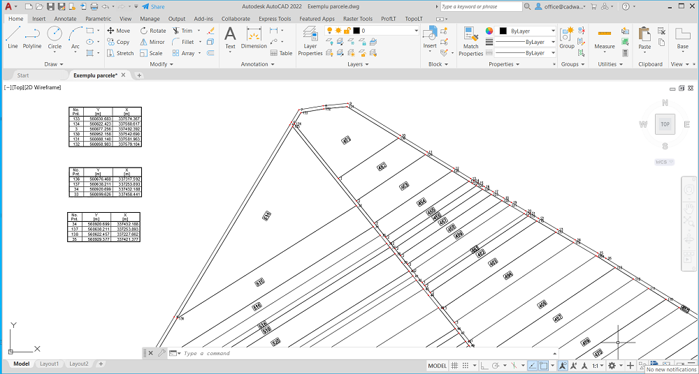
Area Detachment
Detach areas using common cadastral methods such as parallel, perpendicular,
proportional, through an obliged point and with obliged opening.
Automatic Grid Drawing
Automatically generate drawing grids for faster plan preparation.
Numbered Sheets Creation
Create numbered sheets for viewing and printing chained plans more efficiently.
Automatic Border & Title Block Drawing
Draw borders and title blocks automatically, based on printable area and paper size.
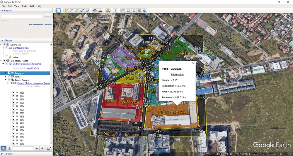
Google Earth Integration
Draw polygons, paths and points in Google Earth with the help of the TransLT library.
Coordinate Transformation
Transform point coordinates using TransLT models for accurate geospatial workflows.
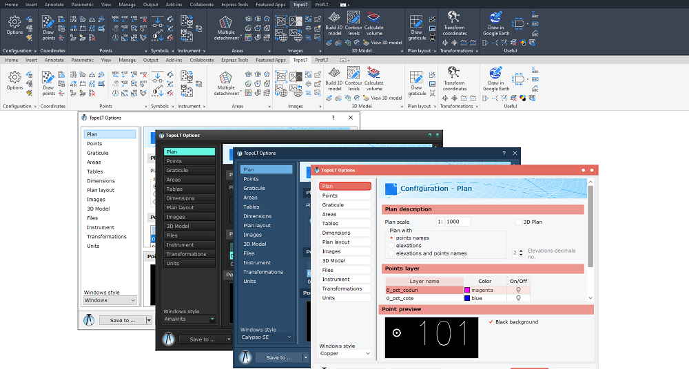
Extensive Program Configuration
Highly configurable for a wide range of scenarios, with support for multiple languages
and user-defined translations.
Explore the full power of TopoLT
Get a complete topographical and cadastral solution with advanced tools
for coordinates, terrain models, georeferencing, automation and printing.
Δοκιμάστε το δωρεάν